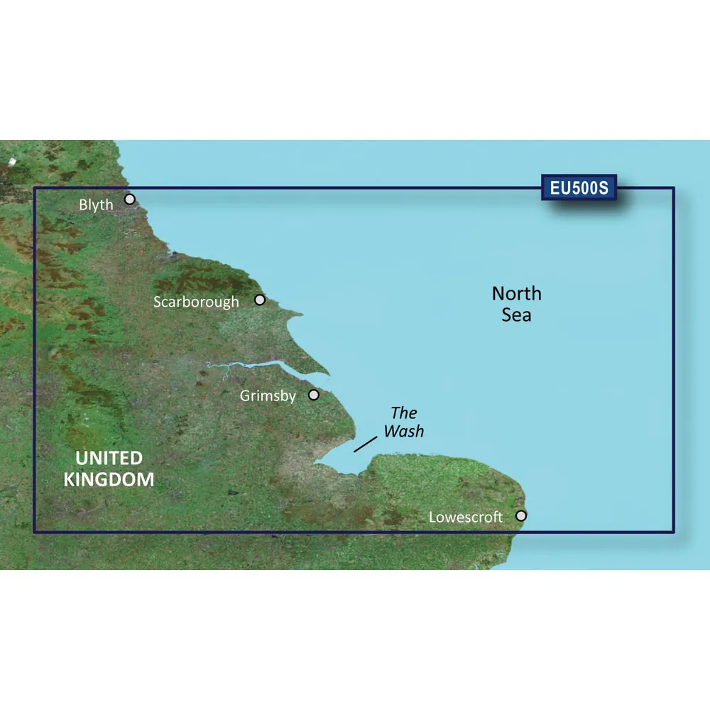
BlueChart g3 Vision HD - VEU500S - Blyth to Lowestoft
Detailed coverage of the English coast from Blyth to Lowestoft, including Newcastle, Middlesbrough, Kingston Upon Hull, The Wash, and Boston. Also includes coverage of the Humber River to Goole and the Trent River to Gainsborough.
Premier Coastal Charts
Experience unparalleled coverage and brilliant detail when you’re on the water. BlueChart g3 Vision coastal charts provide industry-leading coverage, clarity and detail with integrated Garmin and Navionics content.
High-resolution Satellite Imagery
High-resolution satellite imagery with navigational charts overlaid gives you a realistic view of your surroundings, ideal for entering unfamiliar harbors or ports.
FishEye and MarinerEye Views
FishEye View offers a 3-D representation of the bottom and contours as seen from below the waterline, while MarinerEye View provides a 3-D representation of the surrounding area both above and below the waterline.
Aerial Photography
Crystal-clear aerial photography shows exceptional detail of many ports, harbors, and marinas, ideally suited for entering unfamiliar ports.
© 2026 BrokerDen. All rights reserved.


