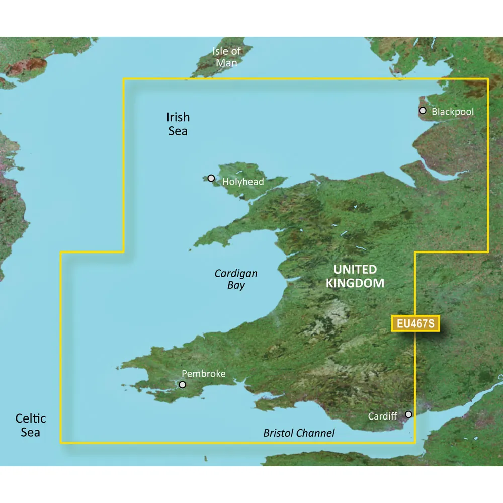
BlueChart g3 Vision HD - VEU467S - Blackpool to Cardiff
Experience thorough coverage from Cardiff to Blackpool, including details of Cardigan Bay, the northern Bristol Channel, Holyhead, and Liverpool. The BlueChart g3 Vision coastal charts deliver unparalleled clarity and detail with integrated Garmin and Navionics content.
Premier Coastal Charts
BlueChart g3 Vision charts include high-resolution satellite imagery with navigational charts overlaid, delivering a realistic view for unfamiliar harbors or ports. FishEye and MarinerEye views offer unique 3-D perspectives of surfaces and underwater structures for an enhanced navigation experience.
Important Safety Note: Auto Guidance is for planning purposes only and does not replace safe navigation practices.
WARNING: This product can expose you to chemicals known to the State of California to cause cancer, birth defects or other reproductive harm. For more information, visit P65Warnings.ca.gov.
This product may not be returned to the original point of purchase. Please contact the manufacturer directly with any issues or concerns.
© 2026 BrokerDen. All rights reserved.


