BlueChart g3 Vision HD - VUS002R - South Maine
Coverage:
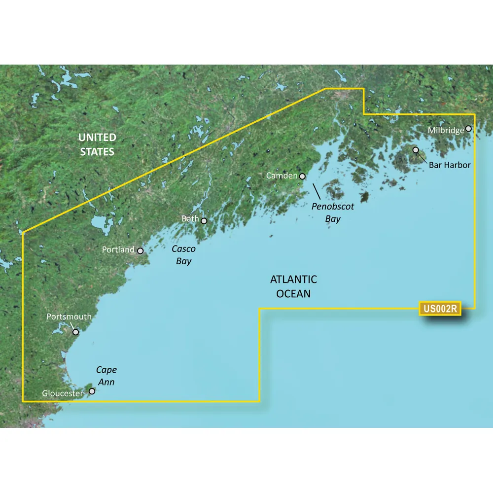
Penobscot Bay through Gloucester, including Casco Bay and Cape Ann.
Premier Coastal Navigation Charts
Experience unparalleled coverage and brilliant detail on the water. BlueChart g3 Vision coastal charts provide industry-leading coverage, clarity, and detail with integrated Garmin and Navionics data, Auto Guidance technology, and high-resolution relief shading.
Auto Guidance Technology
The Auto Guidance feature uses your desired depth and overhead clearance to calculate a route and a suggested path to follow.
High-resolution Relief Shading Feature
High-resolution relief shading combines color and shadow for a clearer view of bottom structure than contour lines alone.
Up to 1' Contours
The closer the contour lines, the more accurate the depiction of the bottom structure for improved fishing charts and navigation.
NOAA Raster Cartography
If you prefer your display to have the look of paper charts, NOAA raster cartography is available as a free downloadable feature via the ActiveCaptain app.
Depth Range Shading
This feature provides up to 10 depth ranges, enabling you to view your target depth at a glance.
Shallow Water Shading
This feature allows you to use shading to designate the shallow water depths you need to avoid.
High-resolution Satellite Imagery
Detailed images of ports, marinas, bridges, and navigational landmarks provide superior situational awareness.
Unique 3-D Views
MarinerEye and FishEye views provide additional perspective both above and below the water line.
© 2026 BrokerDen. All rights reserved.


