BlueChart g3 Vision HD - VCA005R - Halifax, Nova Scotia
Coverage:
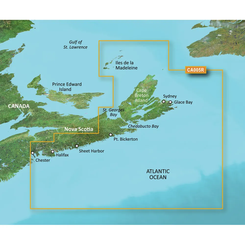
This product covers the eastern Nova Scotia region from Halifax to Sydney, including areas around Cape St. Lawrence and down to Antigonish. It features Chedabucto Bay and St. Georges Bay, and also encompasses the Iles de la Madelaine to the north and Sable Island to the south.
Premier Coastal Charts
Experience exceptional coverage, clarity, and detail with updated coastal charts that incorporate both Garmin and Navionics content.
Auto Guidance
This innovative technology provides suggested routes based on your desired depth and overhead clearance, ensuring safe navigation.
Depth Range Shading
High-resolution Depth Range Shading for up to 10 depth ranges allows you to quickly view your target depth at a glance.
Shallow Water Shading
Define and visualize shallow waters to avoid with user-customizable depth shading.
Detailed Contours
Features 1-foot contours that enhance accuracy in depicting bottom structures, making it ideal for fishing and navigation.
High-resolution Satellite Imagery
Enjoy realistic views of your surroundings through high-resolution satellite imagery overlaid with navigational charts.
FishEye View
This perspective provides a 3D representation of underwater contours as viewed from below the surface, coupled with sonar data for customization.
MarinerEye View
Gain a comprehensive 3D view of the area both above and below waterline for enhanced navigation.
Aerial Photography
Aerial photography is provided for exceptional detail in various ports, harbors, and marinas, perfect for navigating unfamiliar areas.
WARNING: This product may expose you to chemicals that are known to the State of California to cause cancer, birth defects, or other reproductive harm. For more information, visit P65Warnings.ca.gov.
© 2026 BrokerDen. All rights reserved.


