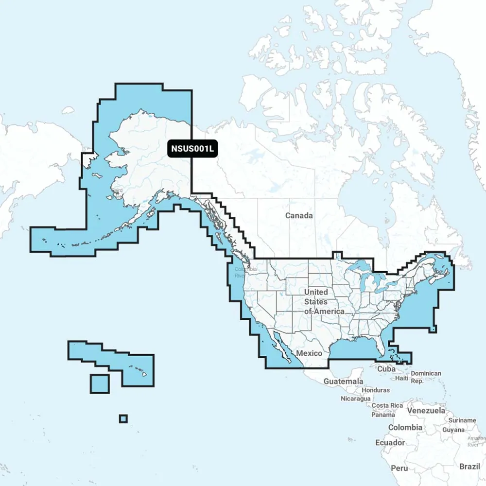
Navionics+ NSUS001L Coastal & Inland Mapping
Experience the top choice in marine mapping with Navionics®+ cartography tailored for coastal and inland waters. This essential mapping solution offers intricate details of lakes, rivers, and coastal areas, ensuring that you have reliable and up-to-date information on your compatible chartplotter. Utilize advanced features like SonarChart™ 1' (0.5 meters) HD bathymetry maps, dock-to-dock route guidance, live mapping, and Plotter Sync for seamless wireless access to daily updates. Our Navionics® Chart Installer software guarantees that you have the latest chart data for your adventures. With routing solutions for your vessel configuration, you can easily navigate channels and marinas while also finding optimal fishing spots through multiple shading options.
Features:
© 2026 BrokerDen. All rights reserved.


