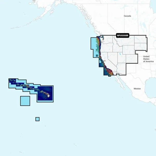
NPUS008R U.S. West Marine Charts
Navionics Platinum+™ charts integrate all features of Navionics®+ cartography with in-depth offshore and inland mapping. This includes coverage for 42,000+ lakes and offers additional options like relief shading, satellite imagery with SonarChart shading overlay, a 3D perspective view, aerial photos, and more.
Charts & Updates:
- Nautical Chart – Comprehensive charts derived from multiple official, government, and private sources presented in a user-friendly format.
- SonarChart HD Bathymetry – Innovative 1' (0.5 m) bathymetry charts created using Navionics proprietary systems, enhanced by sonar data contributed by the boating community.
- Community Edits – Access valuable local insights from edits made by users of the Navionics Boating app on compatible devices.
- Daily Updates – Receive up to 5,000 daily updates ensuring the most accurate and current Navionics data available.
Advanced Features:
- Dock-to-dock Route Guidance – Start your journey with a pre-suggested path.
- SonarChart Live Mapping Feature – Monitor new HD depth maps develop in real-time as your boat moves.
- Advanced Map Options – Personalize your view to concentrate on the most relevant details.
- Plotter Sync – Seamlessly transfer routes and markers, update chart layers, and more between your chartplotter and the Boating app.
Overlays:
- Relief Shading – Gain a clearer view of bottom structures for easier interpretation.
- Satellite Imagery with SonarChart Shading Overlay – Enhance your awareness above and below the waterline.
- Sonar Imagery – Clearly view bottom hardness in contrasting colors.
Platinum+ Additional Viewing Options:
- 3D View – Adjust the chart perspective to enhance awareness of key features.
- Aerial Photos – Get a refined sense of your surroundings.
Coverage Areas:
- Worldwide map coverage available, allowing for easy selection of navigation features and map regions.
- Choose from extensive coverage areas (Large) or more specific chart cuts (Regular).
Compatibility:
- Verify the compatibility of Platinum+ content and features with your GPS chartplotter.
Note: 1 subscription is required. 2 Dock-to-dock Route Guidance is intended for planning purposes only and does not substitute for safe navigation operations. 3 Subscription not required for SonarChart Live mapping on some chartplotter models; ensure latest chartplotter firmware release. **NOT FOR USE IN GARMIN CHARTPLOTTERS**